Why do you need to do structure mapping?
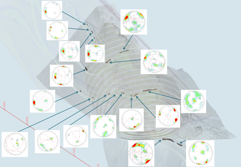
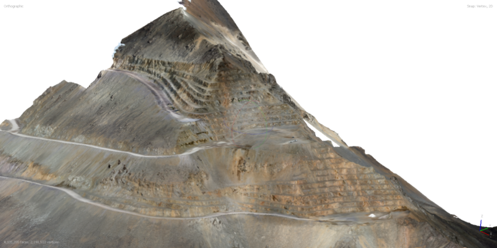
Structural mapping is a service provided by CMT that involves the collection, processing and analysis of structural data from various types of deposits. The main stages include the use of unmanned aerial vehicles to survey the massif, the creation of virtual mapping stations and the calculation of various ratings, including a description of the properties of cracks. This data is then used to create a block geomechanical model, which helps to understand the mechanisms of deformation and zone the quarry field. The service allows you to identify potential risks, conduct deformation analysis and create accurate models of geology and faults.
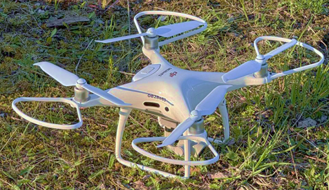
CMT uses modern technologies to carry out structural mapping. The main tools are unmanned aerial vehicles (UAVs), which allow the collection of data on rock masses with high accuracy and safety. The company prefers the DJI Mavic and Phantom models because of their mobility, compactness and compatibility with various programs for shooting of varying complexity.
In addition, CMT uses specialized software to analyze and process images obtained from UAVs, as well as to create virtual mapping stations and calculate geomechanical parameters. This allows the company to provide clients with the detailed reports and models needed for effective field management.

Structural mapping services offered by CMT have a number of advantages:
1. Security. The use of unmanned aerial vehicles allows you to minimize the risk to personnel by avoiding dangerous areas and hard-to-reach places.
2. Efficiency. Modern technologies provide fast and accurate data acquisition, which reduces research time and increases productivity.
3. Detailing. High-quality imagery and careful analysis allow the creation of detailed maps of fracturing and other structural features of the massif, which improves understanding of the condition of the field.
4. Flexibility. The ability to adapt approaches to each specific field ensures an individual approach and the most efficient use of resources.
5. Saving money. The use of unmanned technologies reduces the cost of field work.
6. Risk analysis. Detailed information about cracks and deformations allows you to timely identify potential threats and take preventive measures to prevent emergency situations.
7. Integrated approach. CMT services include a full cycle of work – from data collection to the creation of geomechanical models, which simplifies project management and decision making.
Thus, structural mapping is an effective tool for ensuring safe and cost-effective field development.