We completed work on mapping the benches and sides of the quarry at the Ozernoye deposit
Work on mapping the benches and sides of the quarry at the Ozernoye deposit has been completed. Unmanned aerial vehicles (UAVs) have been widely used to collect field information. The work was carried out with a high degree of detail, including flights directly near the ledges. This made it possible to recreate a virtual edge with a very high resolution and record small fractures. At the same time, the need for a geologist to be under the boat was eliminated, which corresponds to the safety principle – “Safety first”.
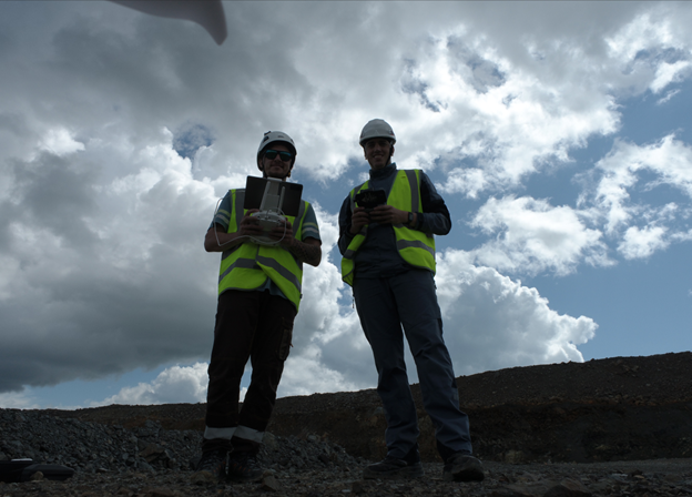
However, the physical work of the geologist, such as identifying structural elements using a compass and identifying rocks from fresh chips, was also an integral part of the process. This procedure is necessary to compare the virtual picture with the real situation, which ensures confidence in the accuracy of the data obtained during desk work.
Based on the results of the work, databases of structural mapping and field ratings based on photographs of cores from exploration wells were compiled. Recommendations were also given for further study of the object and a program for drilling geomechanical wells was developed, which will make it possible in the future to carry out calculations of the stability of sides and benches for the design contours.

Reference
The Ozernoe pyrite-polymetallic deposit was discovered in 1963. It is located in the Republic of Buryatia in the southeastern frame of the Siberian Platform in the zone of development of Lower Cambrian volcanic-terrigenous and carbonate deposits, intruded by Paleozoic and Mesozoic intrusions. The bulk of pyrite-polymetallic ores were deposited by hydrothermal-sedimentary routes, and during the long process of formation, local zones of superimposed metasomatic mineralization were formed.